From a line on a map to a signed agreement
An agreed boundary protects nothing until it is written down. In Jambi, village institutions and the forest management unit are turning maps into management agreements.
JambiGovernancePeople
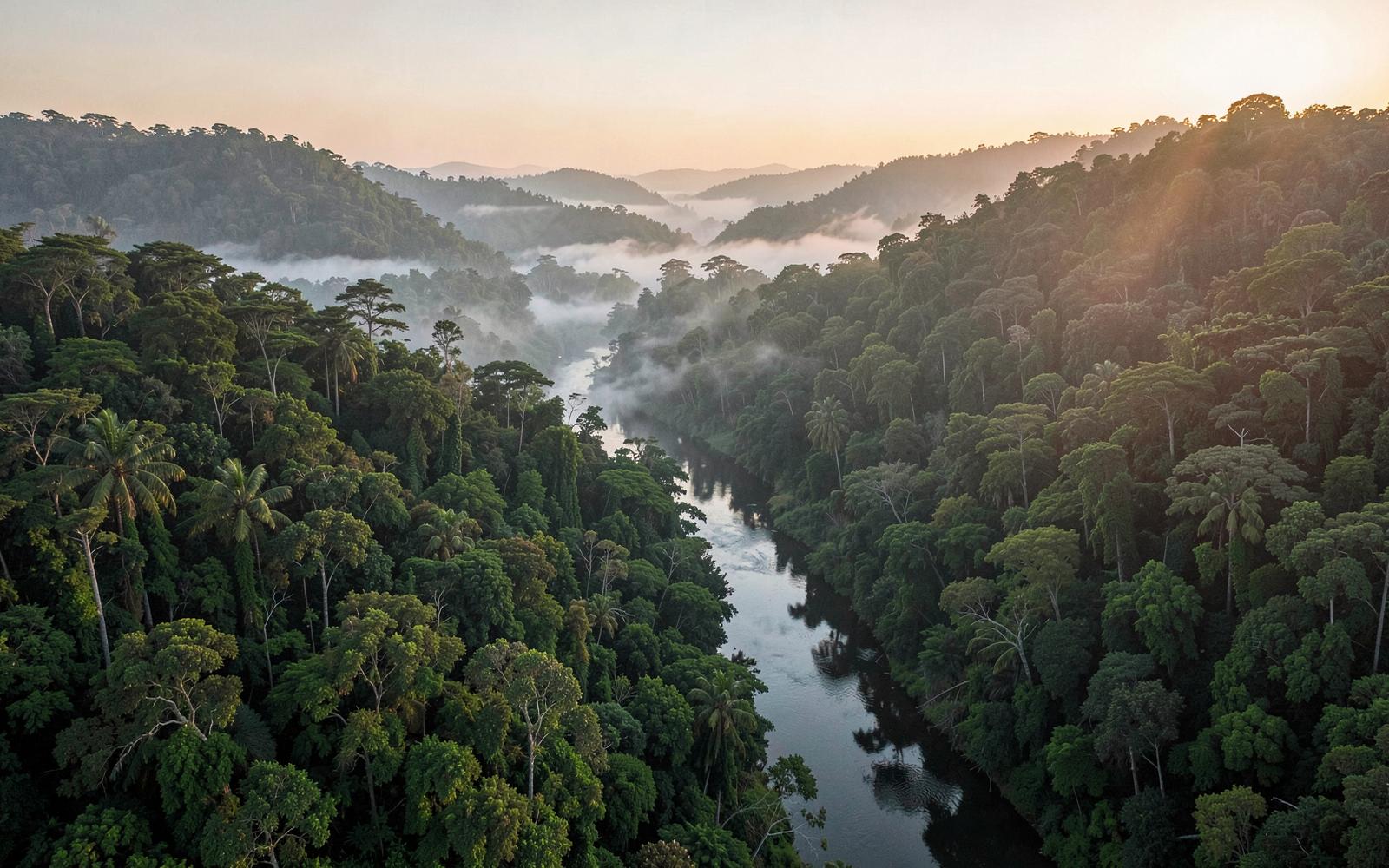
Lowland forest on the eastern slope of the Barisan range, squeezed between plantation blocks and river settlements.
Jambi: Forest Landscapes and the Pathway to Low-Emission Development Jambi’s forest landscapes are an important part of the province’s natural capital, supporting biodiversity, storing carbon, regulating water systems, and sustaining the livelihoods of communities living in and around forests. However, these landscapes face increasing pressure from land conversion, forest degradation, peatland fires, and development activities. During the 2006–2018 baseline period, greenhouse gas emissions from Jambi’s land sector averaged approximately 32 million tonnes of CO₂ equivalent (MtCO₂e) per year. At the time of the baseline assessment, approximately 1.02 million hectares of natural forest remained, while average annual deforestation and forest degradation was estimated at around 80,000 hectares. A linear projection of historical trends indicated that natural forest cover could be depleted by the early 2030s under an expansive and extractive development trajectory. Land-use change has been associated with the expansion of forest plantations, estate crops, mixed agriculture, and encroachment into forest areas. These pressures are compounded by challenges in spatial planning and land-use governance, an economic development model reliant on land expansion and resource extraction, limited capacity to prevent encroachment and forest and land fires, and insufficient land productivity and alternative livelihood opportunities for communities living in and around forests. These interconnected challenges highlight the need for an integrated approach that addresses both the drivers of deforestation and degradation and the underlying social and economic factors affecting forest landscapes. Recognising the importance of balancing economic development and environmental sustainability, Jambi has established a long-term policy direction through its Green Growth Plan 2019–2045, formalised under Provincial Regulation No. 4 of 2023. The plan provides a framework for reducing forest conversion and greenhouse gas emissions while improving land productivity, strengthening value chains, expanding access to transport and finance, enhancing climate resilience, and promoting inclusive economic growth. Building on this policy foundation, the RBP REDD+ GCF Output 2 Programme supports Jambi’s transition towards low-emission development by connecting forest protection and restoration with sustainable forest management, stronger community livelihoods, and enhanced provincial climate governance, contributing to the province’s broader climate commitments and sustainable development priorities.
Average annual land-sector emissions
Natural forest area
Rehabilitation of 290 hectares of peatland and mineral soil areas in Jambi Province.
Historical average hotspot count
Avoided emissions
Not published. The provincial baseline is under review and no figure will be shown until it is settled.
Jambi is a strategic landscape for advancing Indonesia’s REDD+ agenda, where forest and peatland protection, greenhouse gas emission reduction, economic development, and community livelihoods are deeply interconnected. The province represents an important opportunity to translate REDD+ results into sustained climate action while strengthening the foundations for more inclusive and low-emission development.
A critical landscape for emission reduction. Jambi’s forests and peatlands are closely linked to the province’s greenhouse gas emissions profile. Addressing deforestation, forest degradation, peatland fires, and land-use change is essential to advancing its climate commitments.
Strengthening forest governance beyond protection. Reducing forest loss requires more than conservation measures. It calls for stronger institutions, improved land-use governance, sustainable forest management, and coordinated action across government and relevant stakeholders.
Connecting forest sustainability with community livelihoods. Communities living in and around forests need meaningful access to sustainable forest resources and viable economic opportunities. Strengthening community participation and forest-based livelihoods is essential to sustaining long-term REDD+ results. Building on a long-term green growth agenda. The Jambi Green Growth Plan 2019–2045 provides a policy foundation for aligning environmental sustainability with economic development. Its priorities include improving land productivity and value chains, expanding access to transport and finance, strengthening climate resilience, and promoting inclusive growth. Turning REDD+ results into lasting action. Through the RBP REDD+ Programme, verified emission reduction results provide an opportunity to strengthen provincial institutions, support forest and landscape restoration, and accelerate the integration of climate objectives into regional development priorities.
10%
10% reduction in deforestation and forest degradation against the 2006–2018 baseline, by 2026
Provincial REDD+ Action Plan and Benefit-Sharing Plan completed
Actions registered in Indonesia's National Registry System (SRN PPI); SIS REDD+ and Provincial Safeguards Summary completed
180,000
Expanded livelihood and alternative-income programmes for communities in and around social forestry areas 180,000 Ha Forest protection measures covering 180,000 hectares of forest areas in Jambi Province.
Rehabilitation of 290 hectares of peatland and mineral soil areas in Jambi Province.
The programme seeks to strengthen the long-term commitment of the Jambi Provincial Government and relevant stakeholders to achieving low-emission and sustainable development. It aims to contribute to the implementation of the Jambi Green Growth Plan 2019–2045 and its ambition to reduce greenhouse gas (GHG) emissions by an average of 10% annually, fostering stronger policy alignment, institutional commitment, and collaborative action towards a climate-resilient and low-emission development pathway. The programme aims to support the Jambi Provincial Government in advancing its regional GHG emission reduction commitments, including the target of 14 million tonnes of CO₂ equivalent (MtCO₂e) set out in the Provincial Medium-Term Development Plan (RPJMD) 2021–2026. It also seeks to strengthen Jambi’s contribution to Indonesia’s 2030 Nationally Determined Contribution (NDC) and the FOLU Net Sink 2030 agenda through forest and land-based emission reduction actions, while enhancing regional policies, planning frameworks, and institutional arrangements for the implementation of low-emission development.
Protect and Restore Forest Landscapes
Support forest and peatland rehabilitation, protection of natural forest and essential ecosystems, fire prevention, biodiversity management and monitoring of land-cover change. These actions are intended to address direct drivers of emissions and strengthen forest and carbon-stock conservation.
Strengthen Forest Management
Support the seven UPTD KPH through forest management planning, patrols, fire prevention, conflict assessment and management, and operational capacity. This approach connects forest governance with practical management needs across the province
Expand Sustainable Community Opportunities
Support alternative income and business opportunities for communities living in and around forests, while strengthening climate action at village level through ProKlim planning, facilitation and registration. Embed Climate Action in Provicial Systems Strengthen provincial climate institutions, actual-emissions reporting, forest monitoring, data sharing and coordination with national systems to support more informed climate planning and implementation.
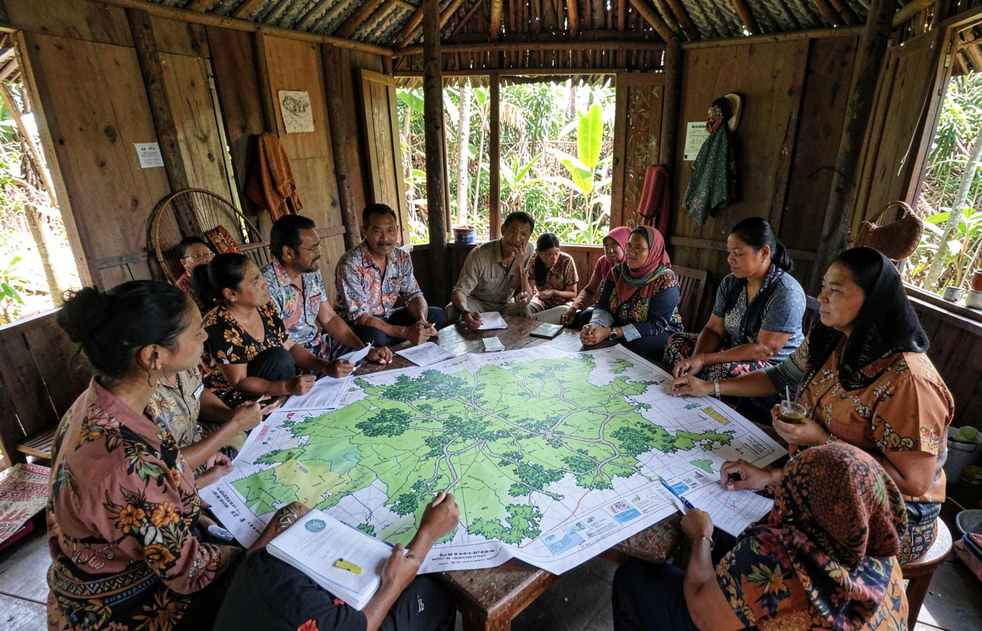
An agreed boundary protects nothing until it is written down. In Jambi, village institutions and the forest management unit are turning maps into management agreements.
Jambi's forest fragments only stay whole if everyone works from the same boundary. That starts with a mapping method anyone can check.
Merangin's forest edge exists twice on paper. Fourteen villages are documenting the difference.