A method someone else can repeat
Jambi's forest fragments only stay whole if everyone works from the same boundary. That starts with a mapping method anyone can check.
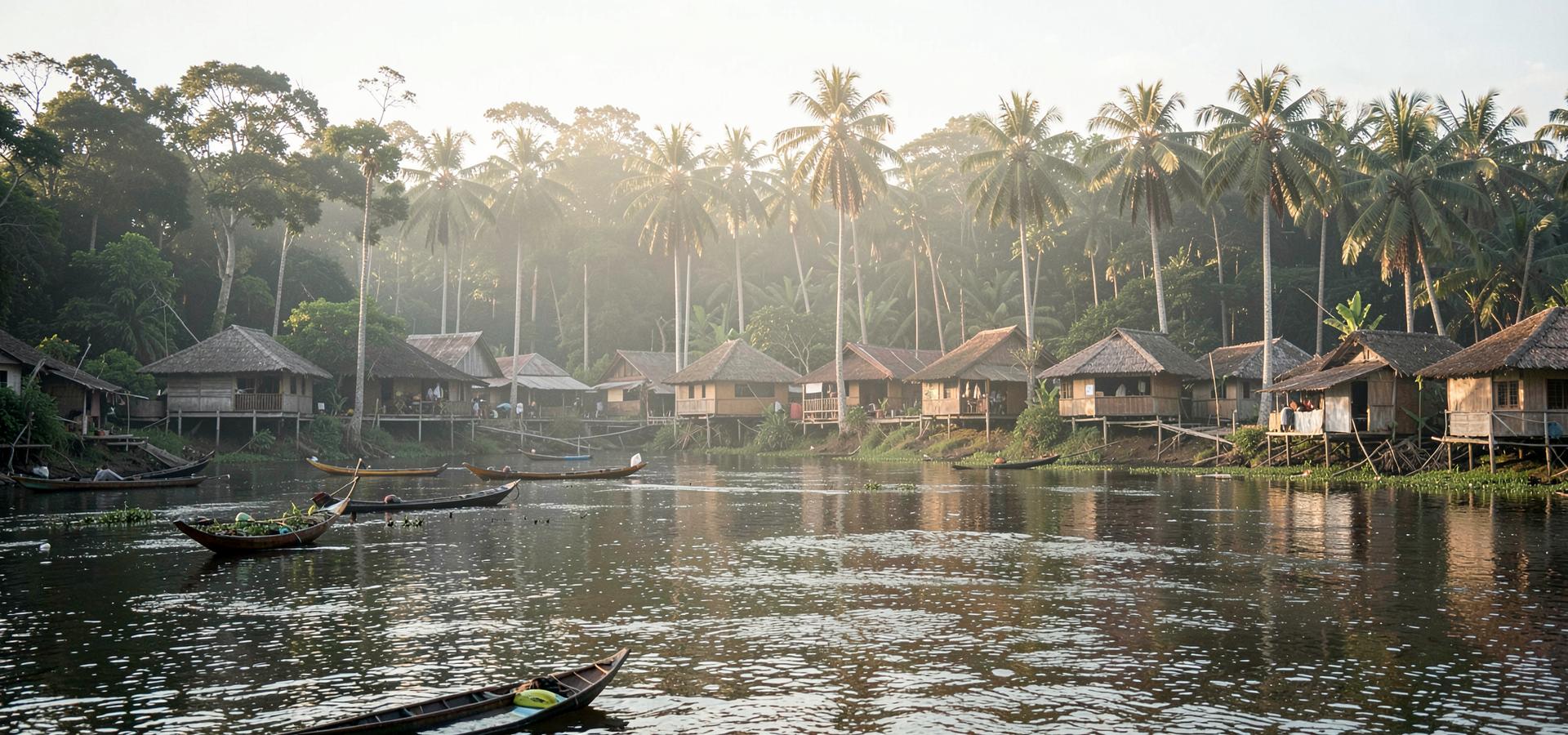
Jambi's remaining lowland forest sits in fragments between industrial plantation blocks. Fragmentation, not wholesale clearing, is the pattern here, and a fragment with no agreed edge is easy to lose a metre at a time.
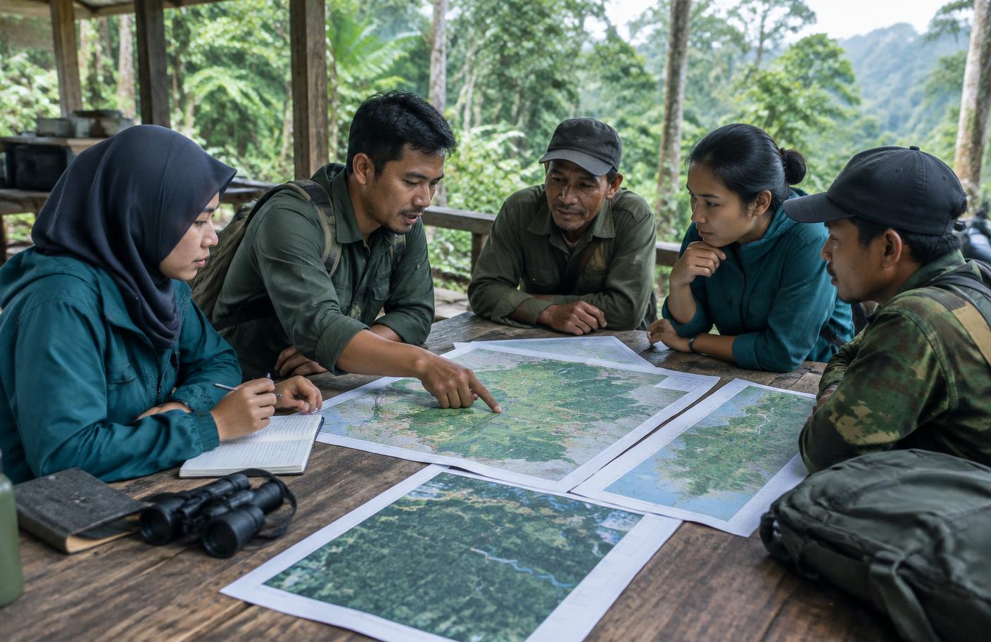
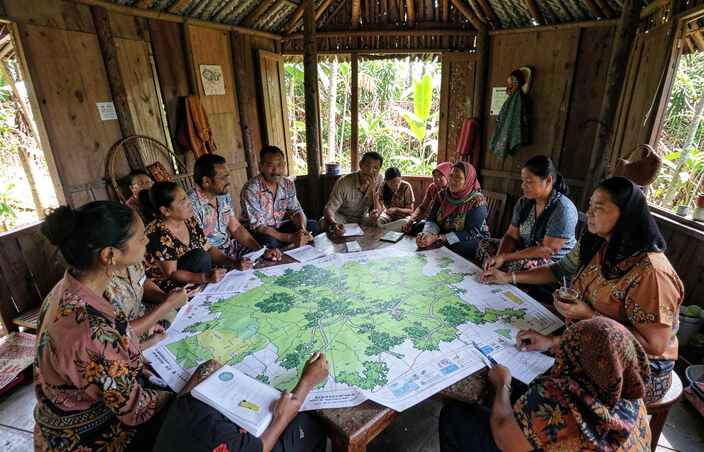
The programme maps with villages, village by village. The method is documented in enough detail that another party could repeat it and expect to land on the same line.
A boundary is only useful if every party can see how it was drawn.
Villages draw it, agencies check it
Village maps are then laid against district and ministry data. Where the two disagree, the difference is recorded rather than resolved quietly.
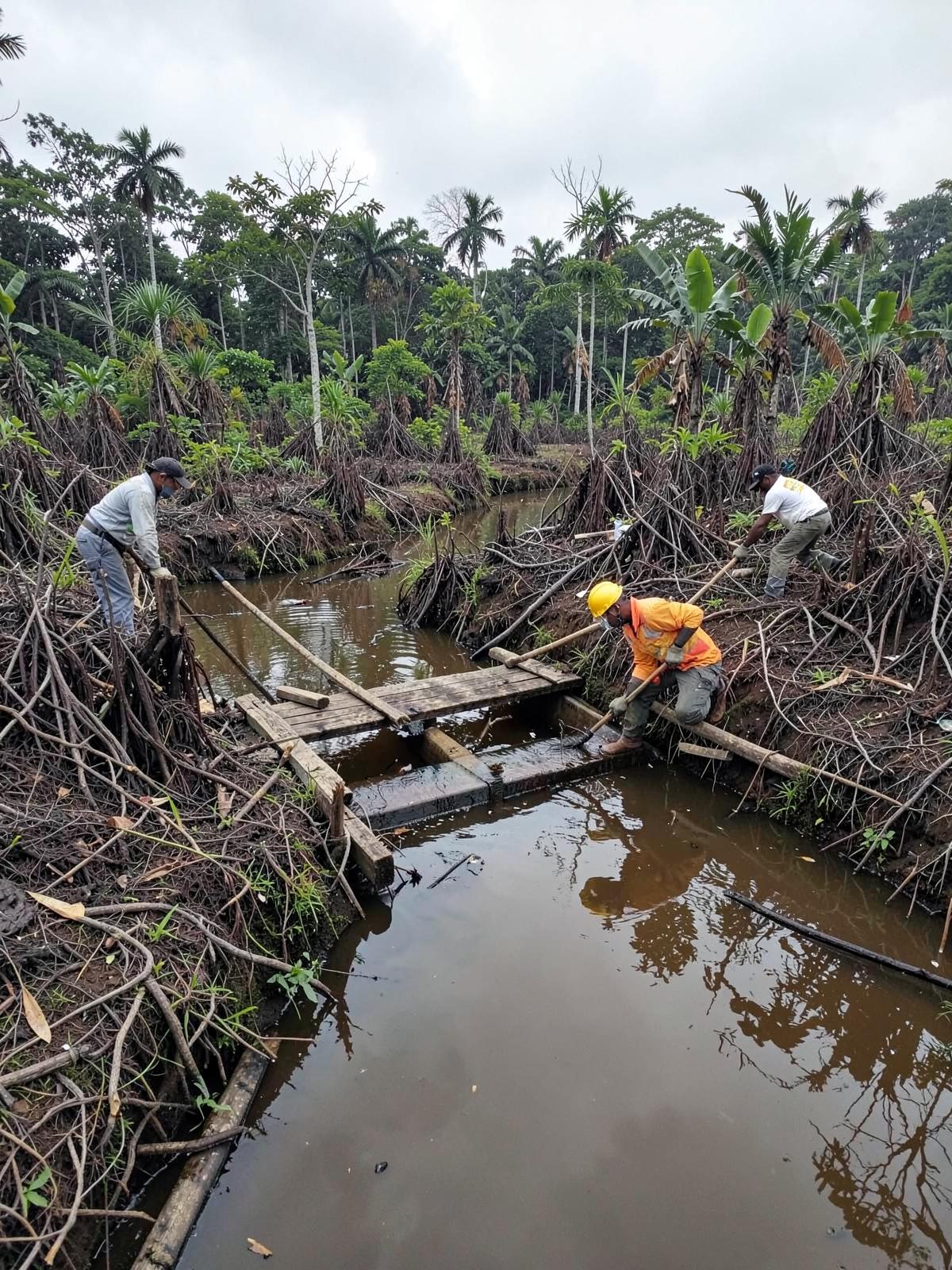
Rehabilitation of 290 hectares of peatland and mineral soil areas in Jambi Province.
That record is what makes the map usable. An agency can see what the village claimed, what its own data shows and where they diverge, and decide from the same page.