From a line on a map to a signed agreement
An agreed boundary protects nothing until it is written down. In Jambi, village institutions and the forest management unit are turning maps into management agreements.
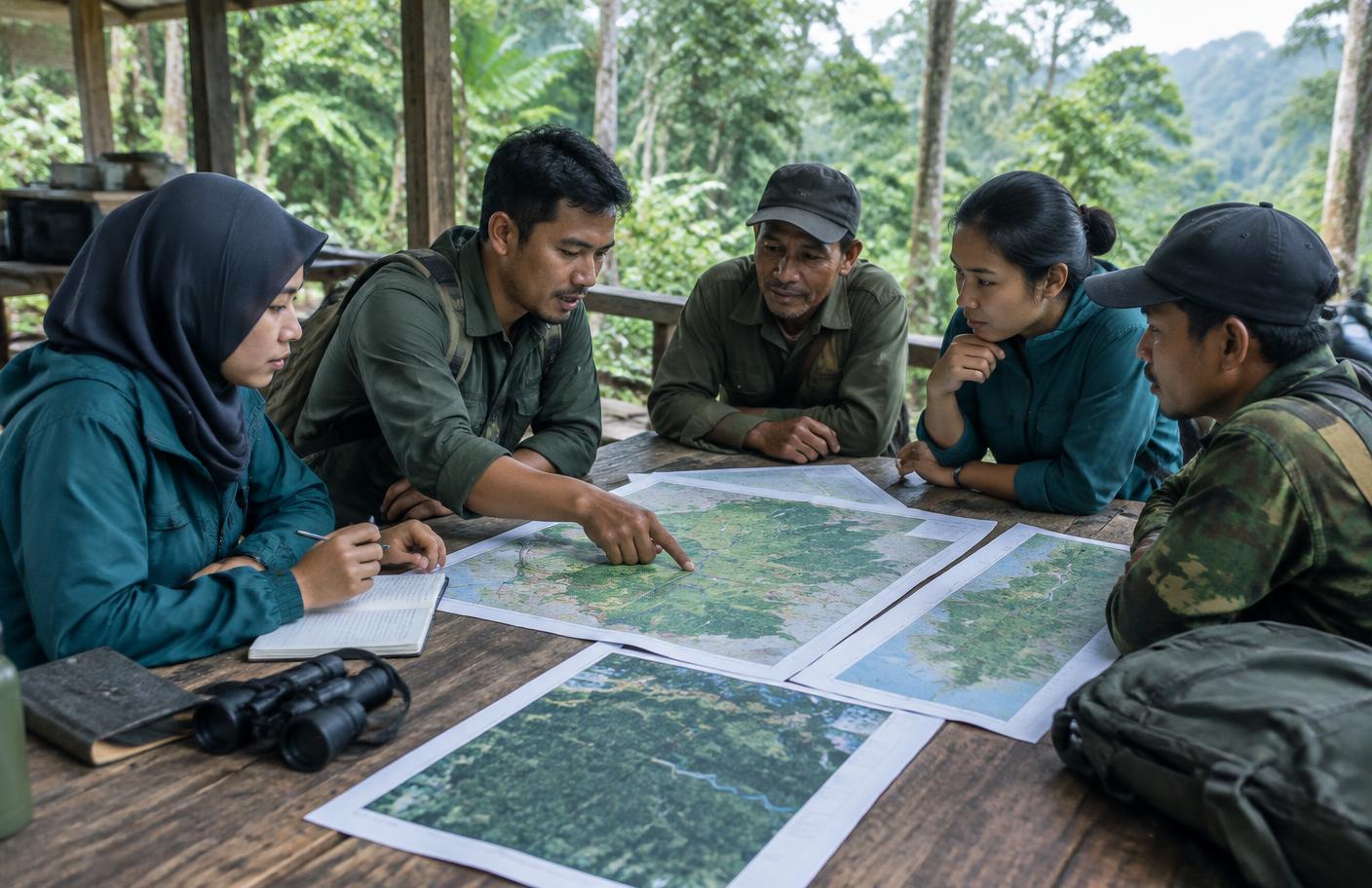
Mapping ends in a drawing. Protection starts when that drawing becomes a written management agreement between a village institution and the forest management unit (KPH) that holds the land.
In Jambi, the programme converts boundaries that villages and agencies have agreed into exactly that kind of document. It names who manages the area, and it gives both sides something to point to.
Protection starts when the drawing becomes a signed document.
Where it stands
Six management agreements are signed, and 860 households are covered by agreements in the landscape.
Not every boundary is agreed. The programme documents contested boundaries rather than working around them, so the 14 discrepancies recorded between village and agency maps are on the page, not buried.