Two maps, one boundary
Merangin's forest edge exists twice on paper. Fourteen villages are documenting the difference.
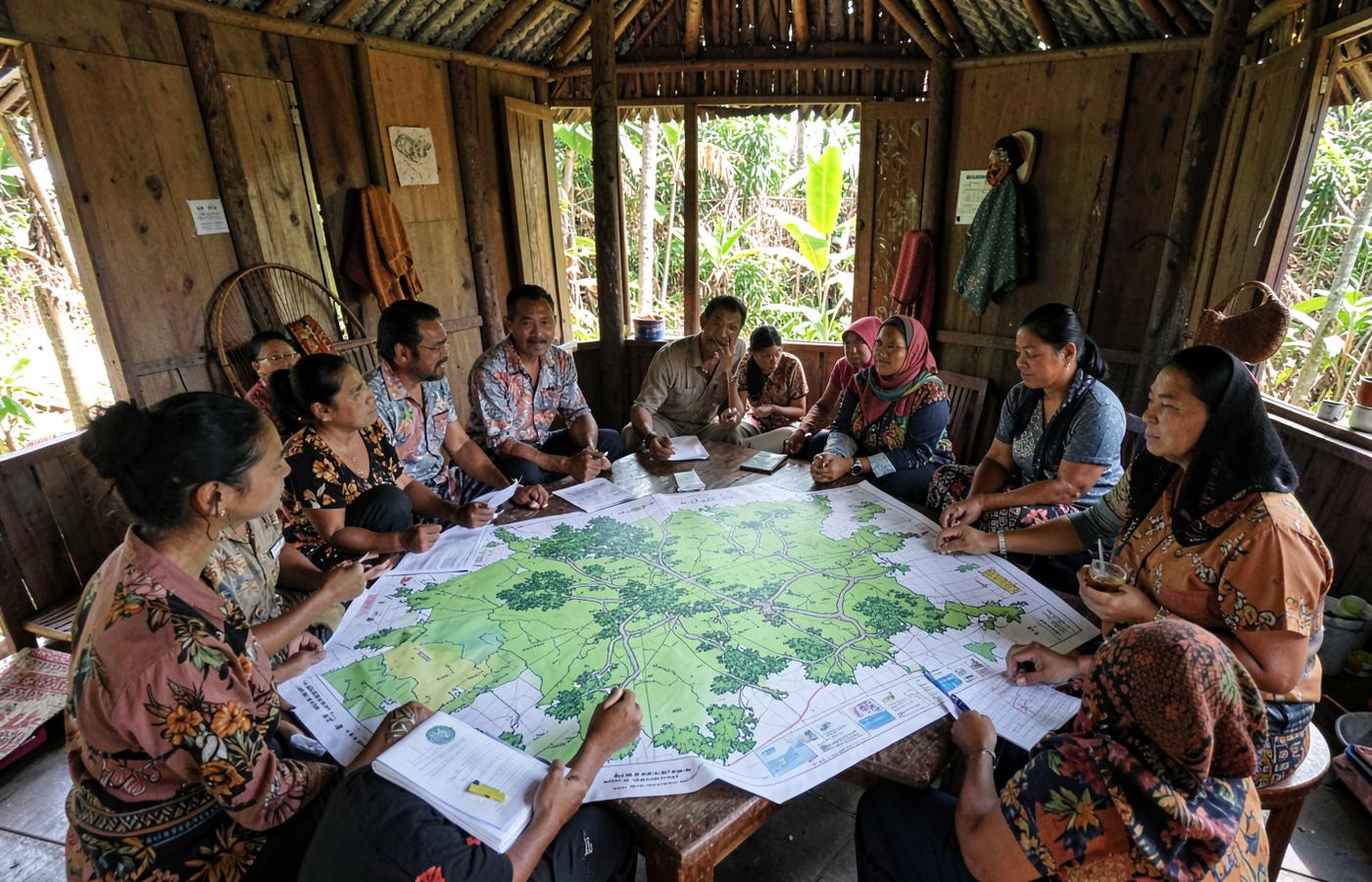
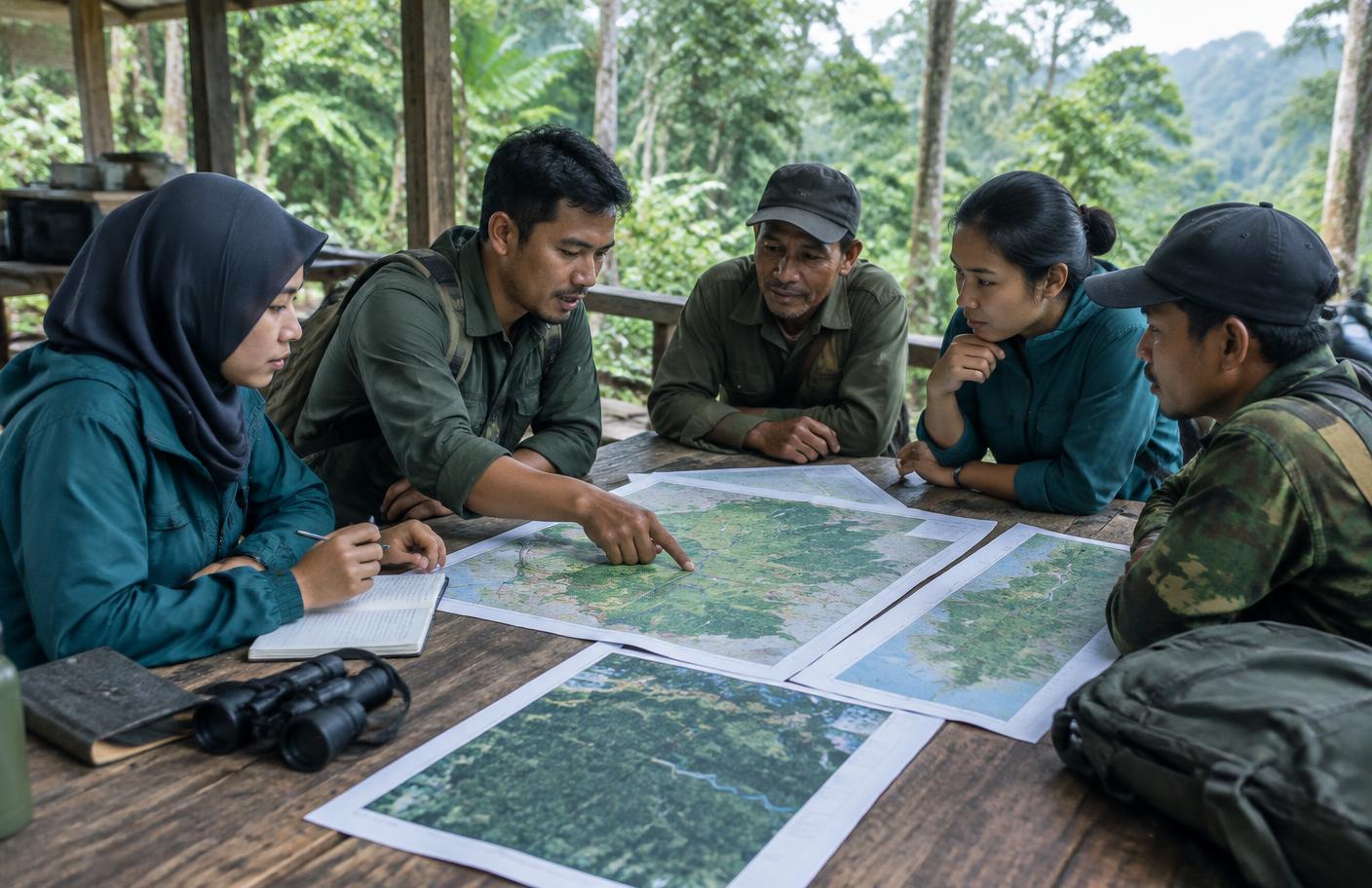
Two maps of the same forest edge disagree, and both are official in the sense that someone acts on them. One is the forest estate boundary. The other is the boundary people farm to.
A discrepancy that is written down can be resolved. One that is not becomes an eviction.
290ha
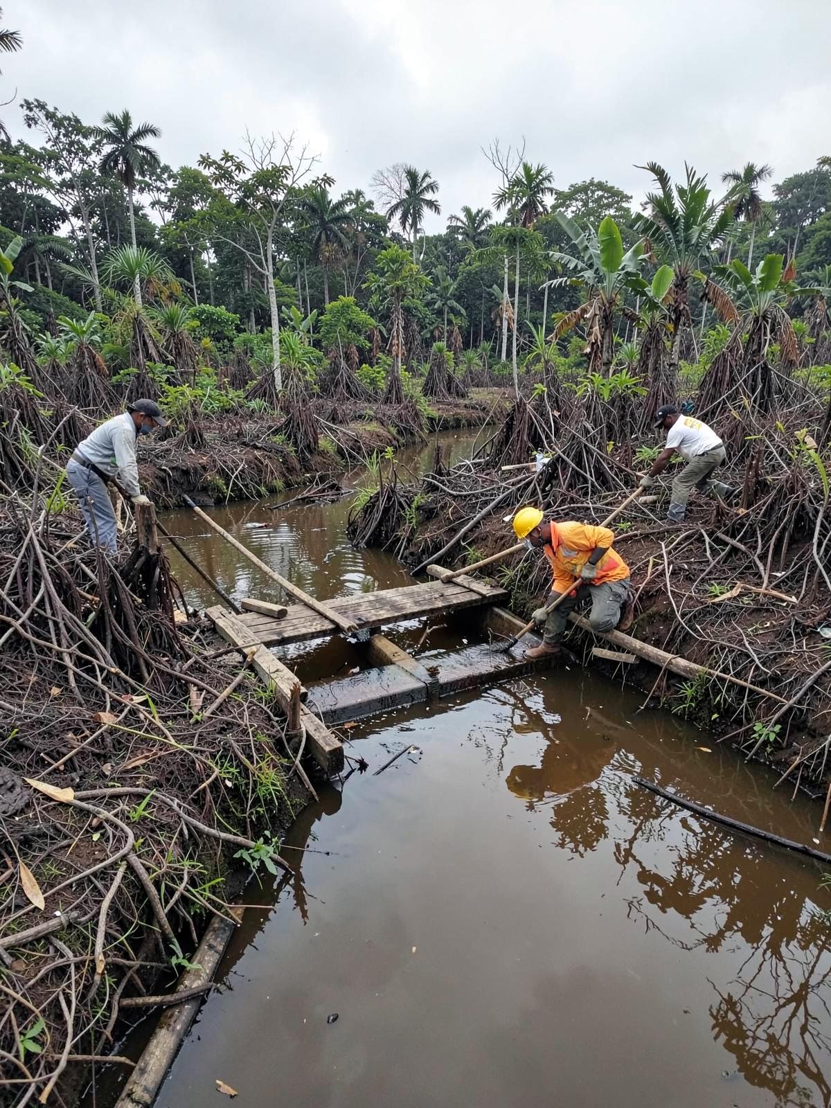
Rehabilitation of 290 hectares of peatland and mineral soil areas in Jambi Province.
Each mismatch is recorded as a case, with the evidence attached, rather than averaged away.
Resolution, slowly
Where a case is settled, it is settled in a management agreement that both the forest management unit and the village sign.