Watching the concession edge
Where a haul road meets the forest, new cutting shows up first. Community patrols in the Meratus log it with GPS points and photographs.
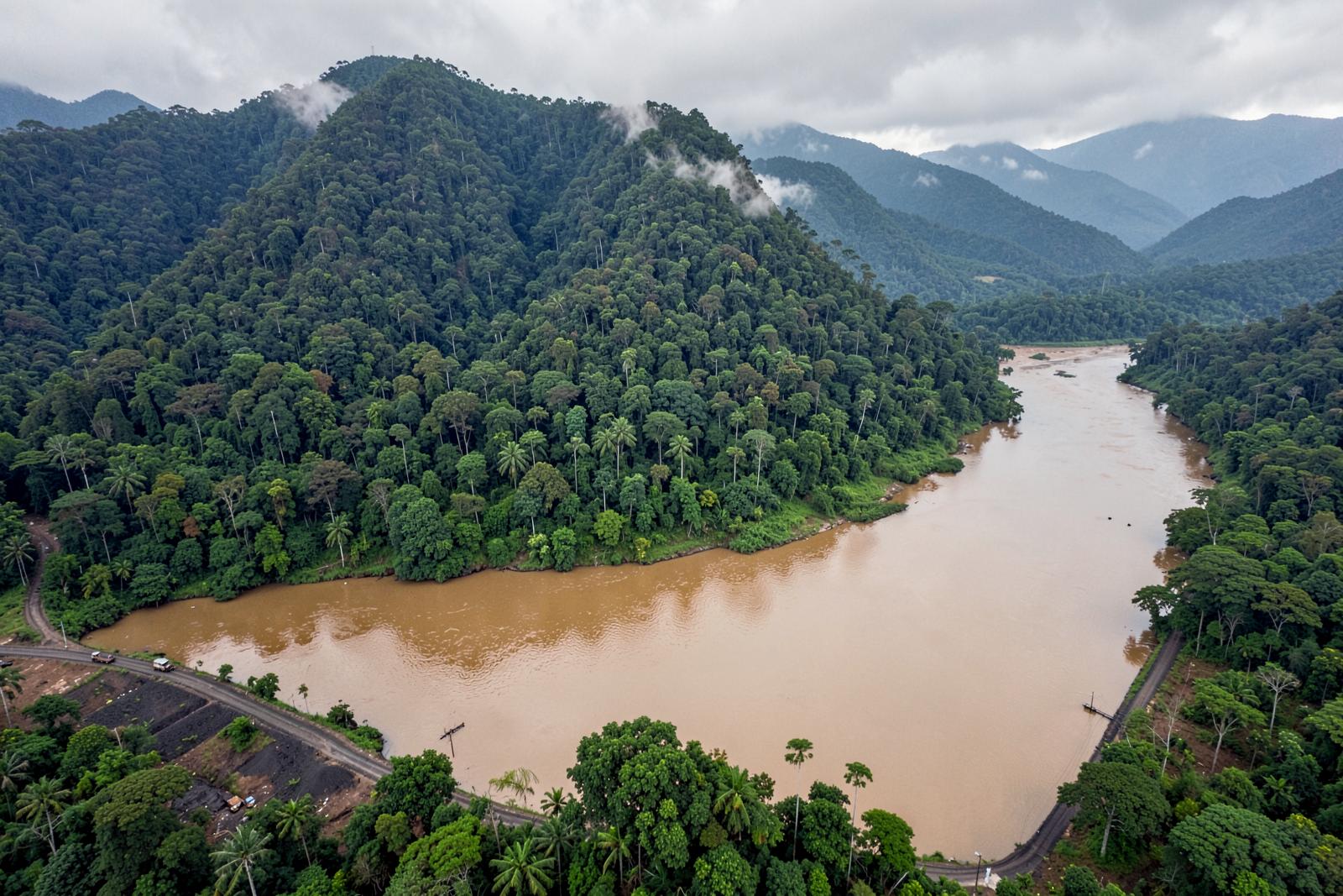
South Kalimantan is the most heavily mined province in the programme. What forest is left on the Meratus range is bounded on almost every side by concessions, plantations and haul roads.
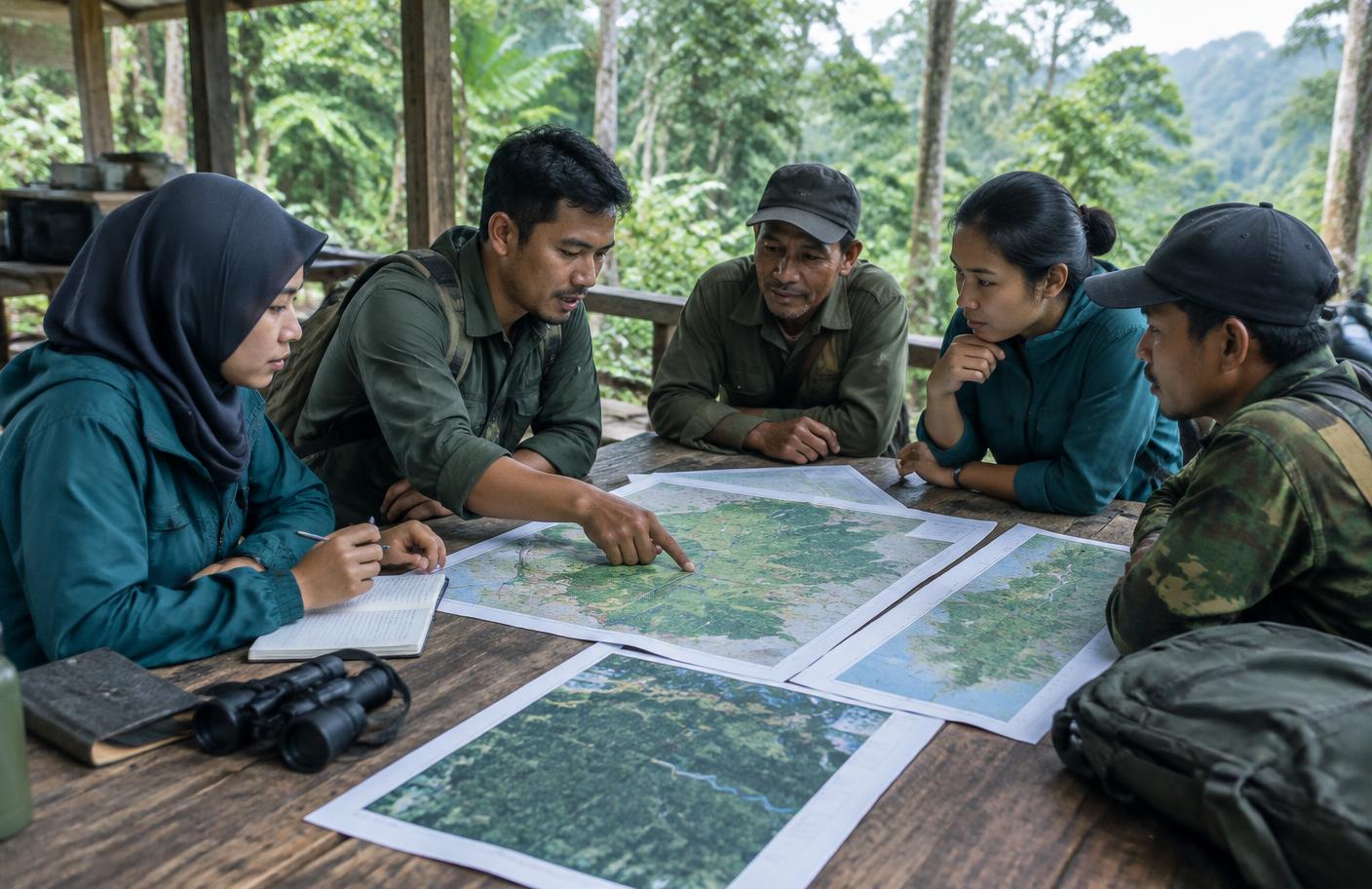
The programme pays community patrols to walk the concession and haul road margins. They log new cutting and road extension with GPS points and photographs, so what is happening at the edge is on the record, with a place and a time.
A patrol log turns a general worry into a specific place.
A record that can be used
A patrol log is evidence. It lets customary institutions and forest management units point to a specific location, not a general concern.
Forest Degradation (2018–2019)
The patrols sit alongside the programme's legal work on customary territory, because a boundary on paper and a boundary on the ground need to say the same thing.