The line in the Meratus
A customary boundary and a coal haul road now run within sight of each other. One of them is on the official map.
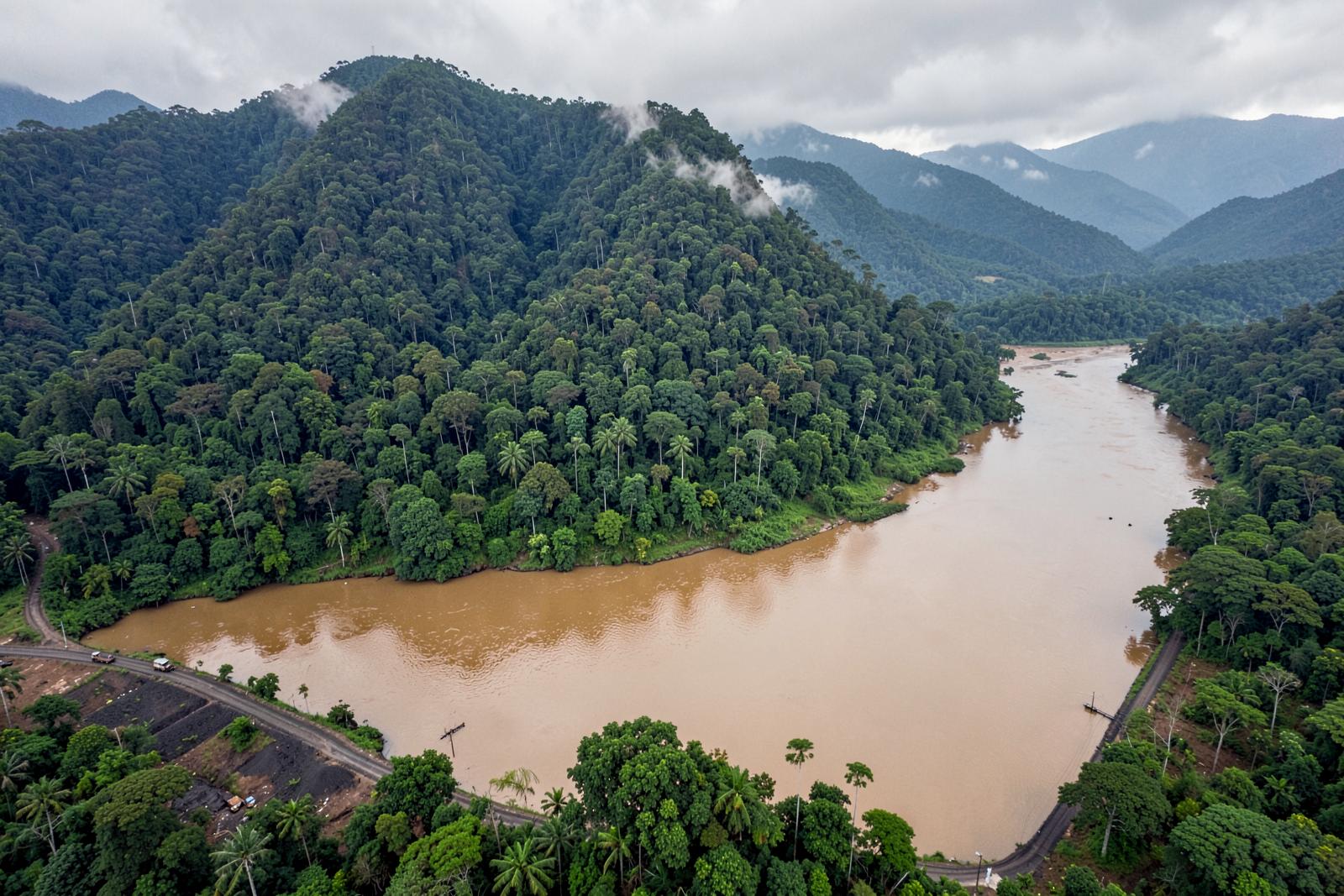
Customary territory in the Meratus is held by descent and by use, and it is legible to everyone who lives here. It is not legible to a spatial plan, which is the problem.
The map is not a description of the forest. It is a description of who may decide about it.
280,094
Critical Land Area (2018)
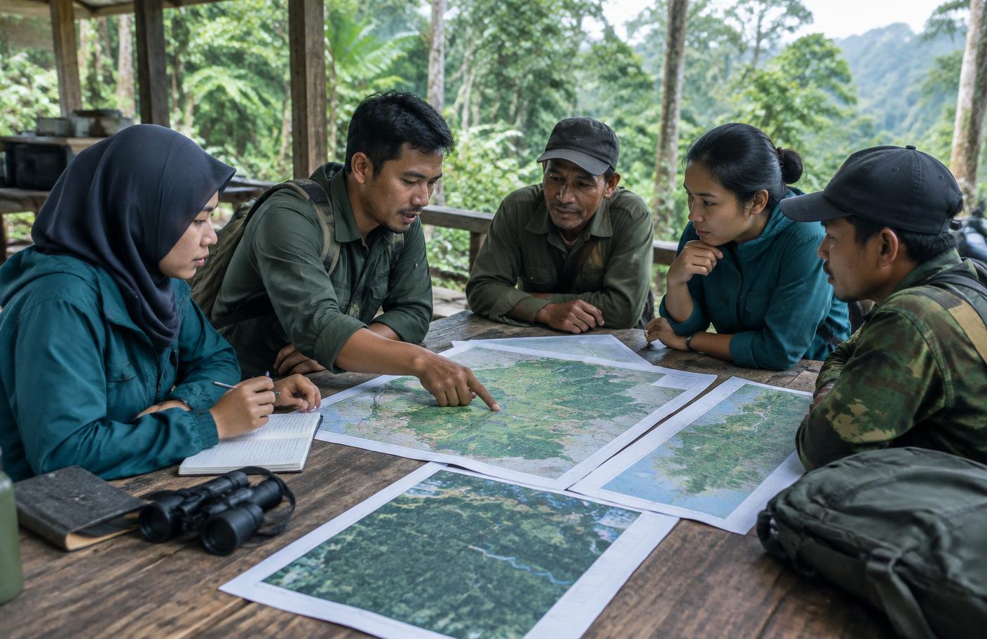
Mapping is the evidence base for an application, not a substitute for one.
224,428ha
Severely Critical Land (2018)
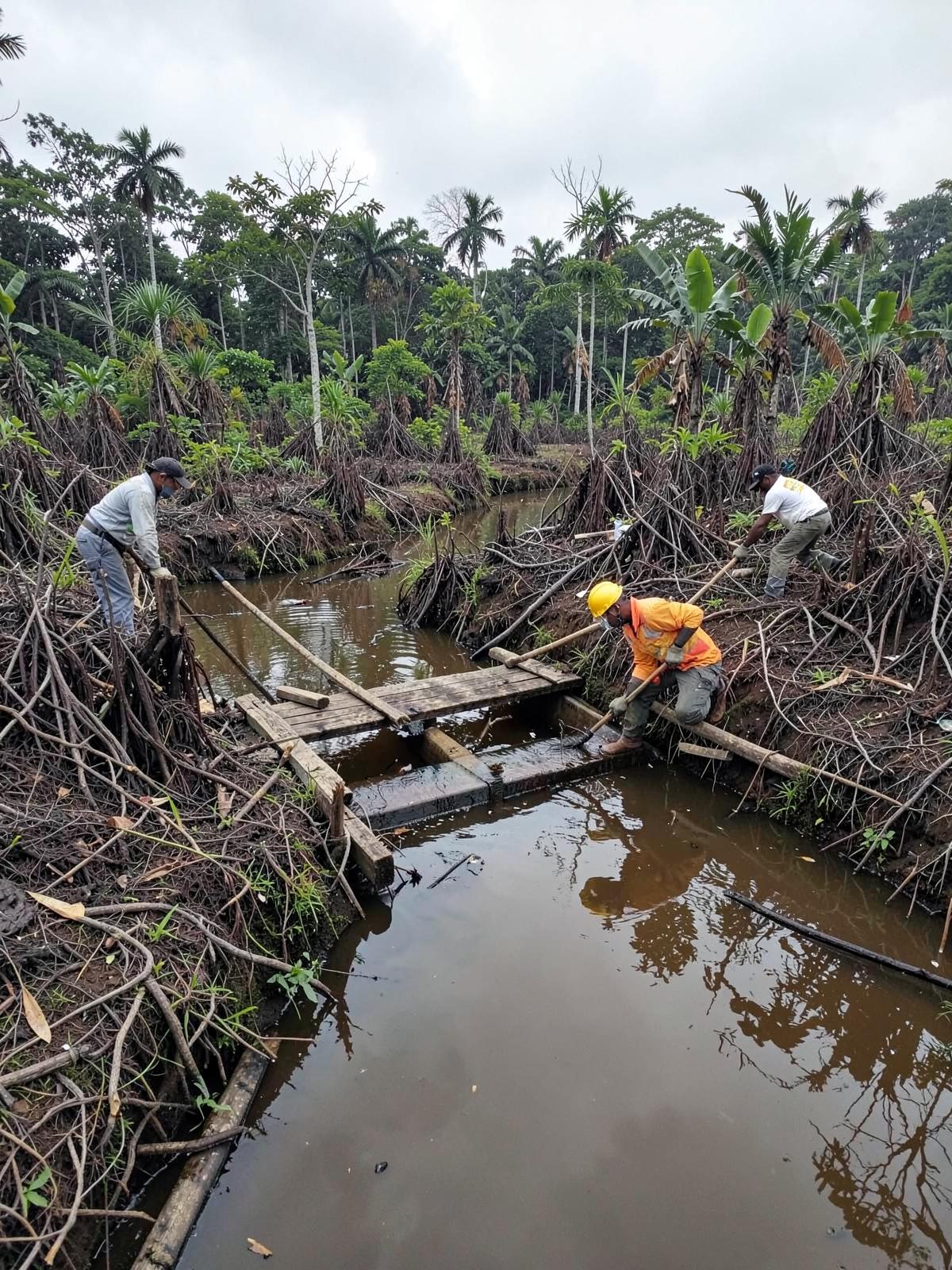
Holding the edge meanwhile
Recognition takes years. Patrols happen weekly.
66ha
Forest Degradation (2018–2019)